
A yak and mule train haul wood up the valley near Jomsom
Day Location: Jomsom, Nepal
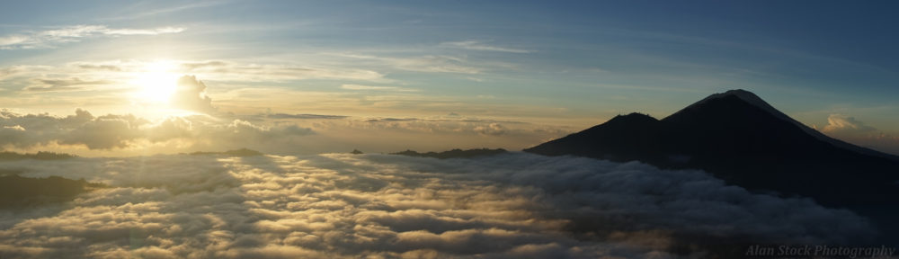
03/01/13
We had a good sleep and we were feeling a bit better, looks like we had been suffering from altitude sickness after all. We decided as we still had a few days before Sophie would need to go back, that we would do some exploring of the Jomsom area. On the advice from the hotel lady, we set off after breakfast across the river, towards a village to the south up on a hill, visible from our hotel.

Bridge over the river at Jomsom

A passing mule train
We soon realized we were on the wrong path when it terminated at a house, forcing us to climb a wall into some terraced fields. It was very windy and bitterly cold with it – but as soon as the wind dropped it was scorching forcing us to add and remove layers like Russian dolls! The path in the fields led us up into the village. It was very Tibetan with narrow streets, whitewashed buildings stood with flat roofs and flagpoles with colourful prayer flags stuck out of the roofs. Firewood was stacked on every wall and roof. Cows and yaks were tethered and chickens pecked around. The place seemed almost deserted with padlocked doors everywhere. Either we were about to be ambushed or the start of the zombie apocalypse. But then we did see a few locals who said hello and pointed us in the right direction. Sophie tried to make friends with a horse at the top of the village, the temple was closed there but the views across the mighty valley were impressive.

The deserted village

Stacks of firewood on walls and roofs

Sophie’s favourite horse

A scraggly baby yak pummeled by the wind

These interesting ladders can be found in this area, carved from one piece of wood
We descended past skeletal orchards along the stone trail. A penis carved into a slab of concrete on the path confirmed that genital humour crosses all culture boundaries! We were half-way up the hillside and the trail led on to a steep drop topped by a stone shrine. The wind here was strong enough that we had to brace against it to avoid being pushed off the edge of the path!

Everybody can appreciate penis art

At the bottom of the drop was a rushing river, the side valley leading to the impressive triangular Himalaya above. Windswept pine trees covered the rocky landscape. We descended the hairpins into the valley being buffeted violently by the wind. At the bottom a yak and mule train passed us by, herded by men with sticks and making yipping sounds. They said hello and asked us where we were going. Friendly people up here.


We crossed the river and climbed the path on the other side, leading us to a desolate sandy and rocky landscape. In ten minutes we emerged into another side valley with crazy bulbous rock formations made of what looked like sandstone. It was like another alien world (and I thought we had seen everything up here!). We were aiming to reach a lake and followed a track in what seemed like the right direction from the map. It turned out to head down into the valley which we didn’t need, but we did get to see the weird rock formations up close.

The strange undulating rock formations in the valley

Sophie in her hole

The path continues around the edge to the next village
We backtracked to the main trail and followed it along the edge of the side valley to a crossing point. There was snow on some of the grass up here, and the terrain was a mixture of pine trees on the hillside and rocks. Across the side valley was another small village, some ladies there washing clothes at an outdoor tap pointed us in the right direction, but we couldn’t find the trail. Backtracking again led us to another dead end, so we went back to the village and tried again. The trail maps drawn on signs were just lines with named dots for the villages, giving nothing away about the terrain. It was already around 2pm and we needed to head back soon to reach Jomsom before dark, so we checked ahead in case it was up the trail. Sure enough, in ten minutes we reached the lake.


The lake was fenced off to stop the animals contaminating it, and the strong wind blew swirling, pretty patterns of ripples on the surface. From here we could see a newly revealed, very craggy peak in the distance on our side. Satisfied and starving (none of the villages had amenities for trekkers, we hadn’t eaten since breakfast), we retraced our steps. Past the weird rock formations Sophie didn’t fancy climbing the steep hill to the village so judging from the map I figured we could do a shortcut down to the river in the main valley, and follow a path alongside to Jomsom. Although the drawn trail maps showed a path around where we were, we couldn’t find anything, so I led us over a rock field and over little streams heading down to the main river where I hoped we’d pick up the path. We came across some large square stone cairns placed in the rock field, some with writing on them. I later learned my suspicions were correct, they are burial cairns. Why this spot was significant I don’t know.

You can see the square cairns in the middle there

Writing on a burial cairn, presumably the person’s name

At the end of the rock field we entered some marshland and a young tree plantation. There was still no sign of the main path and the sun was going down. I was worried I’d got us into a mess but minutes later I found the edge of the river and we hit the main path. It clearly wasn’t a proper trail any more, the bridge leading to it was no longer there. We had been lucky. We followed it through the plantation, step-stoned over a side river and finally came to the edge of Jomsom, crossing a long suspension bridge over the main river. Before the road were some dead cars. Everything of use was gone, now they were just rusting away in the harsh environment. We walked into the town and found a restaurant catching the last of the sunshine and ate a much needed meal. Noodle soup never tasted so good!

Sophie crosses the rock field

The plantation we walked through

The rippling cliffs beside Jomsom

Sophie on a mighty suspension bridge
I bought some apple brandy, a specialty of the region. Back at the hotel I tried it with some yak cheese. The cheese was great, I polished off two plates of it, but the brandy was nasty. We had a chilled out evening and got an early night, anticipating a grueling bus ride the next day, we were aiming to get as far to Pokhara as possible.


Back in Jomsom